Field learning · Aryavart Public School
Mapping the ground beneath our feetMapping the ground beneath our feet
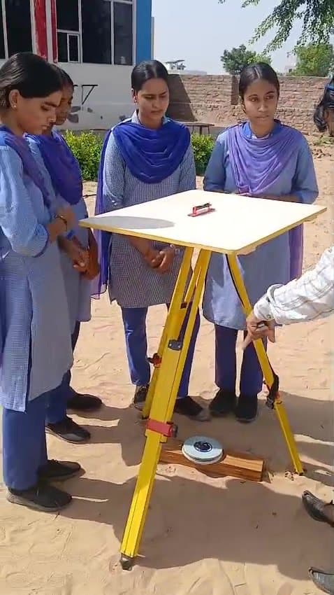
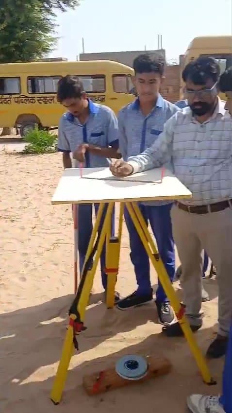
In a geography practical at Aryavart, girls and boys set up a plane table on the school ground, sight their landmarks and plot the campus to scale.
A plane table is one of the oldest tools in surveying: a flat drawing board on a tripod, a sighting ruler called an alidade, and a compass to set north. With it, a survey is drawn in the field rather than back in the classroom.
At Aryavart Public School in Palana, students take turns levelling the table, orienting it and sighting points across the school ground, while their teacher checks each line they draw.
Girls and boys work in the same way and on the same instruments. It's a small, practical lesson in something we care about: that every child in our schools gets to do the real thing.